Free UK Shipping | Enquire for Worldwide

£110.00
WWI German Aerial Reconnaissance Photograph – 21 April 1918 – Fliegerabteilung 295 b
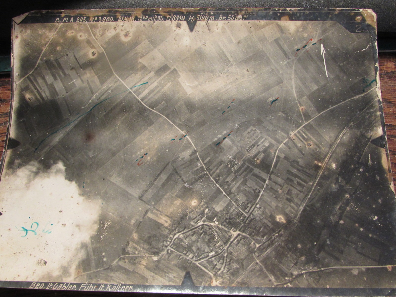
The photograph depicts a substantial settlement surrounded by open countryside, with a network of roads, numerous buildings and possible railway or industrial installations. Several coloured markings and a white arrow have been added to the image, possibly identifying features of military interest.
WWI German Aerial Reconnaissance Photograph – 21 April 1918 – Fliegerabteilung 295 b
An original First World War German aerial reconnaissance photograph, dated 21 April 1918, with handwritten German military annotations along the upper edge.
The photograph depicts a substantial settlement surrounded by open countryside, with a network of roads, numerous buildings and possible railway or industrial installations. Several coloured markings and a white arrow have been added to the image, possibly identifying features of military interest.
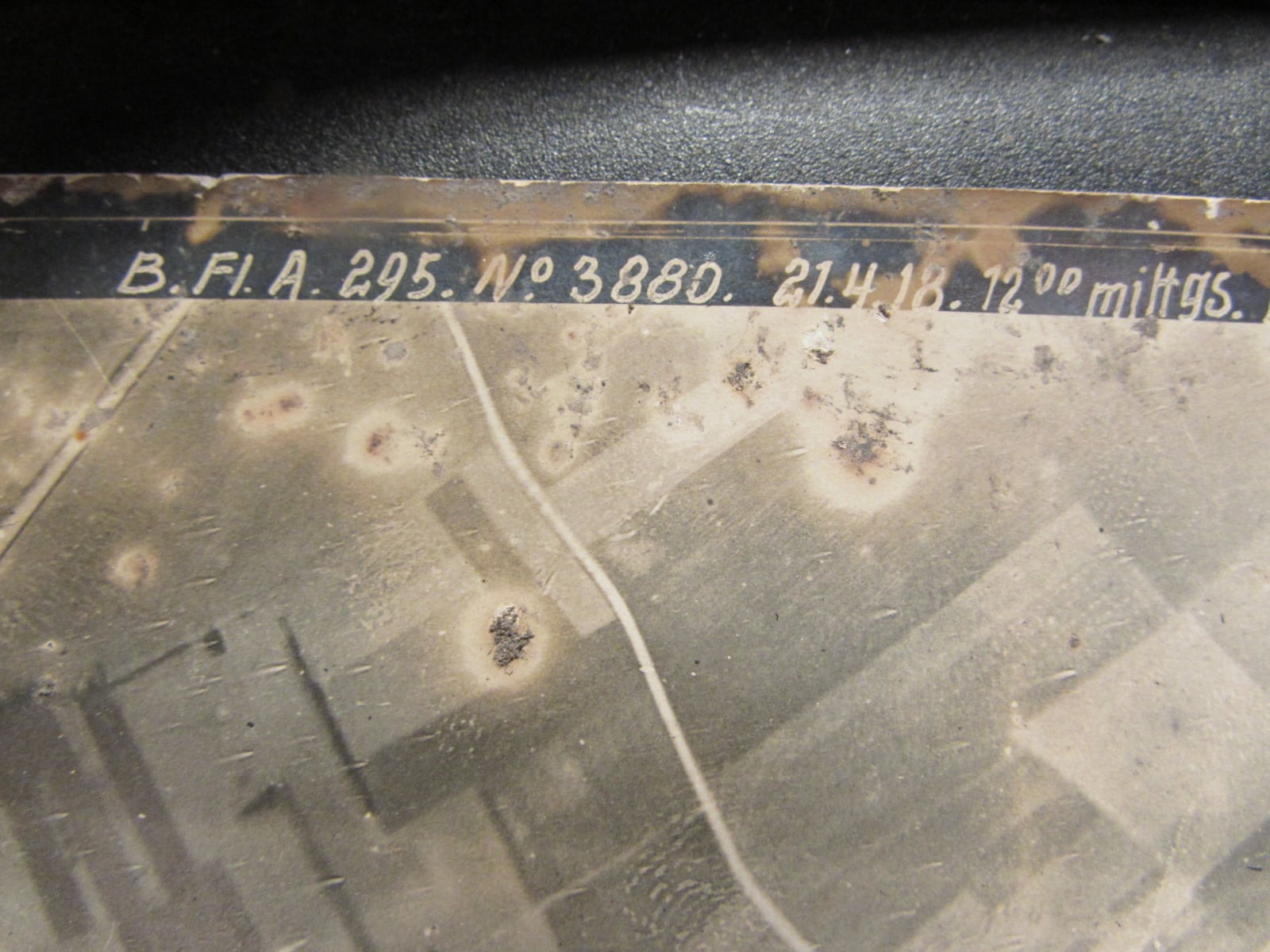
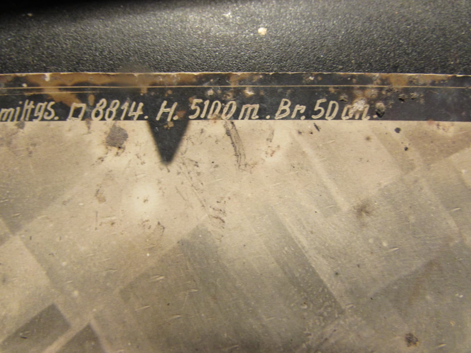
Original German inscription (provisional reading):
B. Fl. A. 295. Nr. 3880. 21.4.18. 12°° mittags. H. 5100 m. Br. 50 cm.
The inscription appears to record the date as 21 April 1918, the time as midday, an altitude of approximately 5,100 metres and a camera focal length of 50 cm. Some characters remain difficult to decipher, so these readings should be regarded as provisional.
Historical Background
The unit marking appears to relate to Fliegerabteilung (Artillerie) 295 b, a Bavarian German aviation unit involved in aerial observation and photographic reconnaissance during the First World War.
Such units photographed enemy positions, road networks, railway installations and other features of military importance, providing valuable intelligence for artillery operations and military planning.
The date places the photograph during the period of the German Spring Offensive of 1918, a major series of operations on the Western Front.
Location Research
The exact location depicted has not yet been positively identified. Research into the unit has revealed an association with a German First World War airfield at Montigny-le-Franc, in the Aisne department of northeastern France.
Small locator map – associated airfield, not confirmed photograph location
<AsyncImage query=”simple geographical locator map Montigny-le-Franc Aisne northern France Saint Quentin Laon Guise” aspectRatio=”4:3″ width=”300px”/>
Montigny-le-Franc is shown as a research lead based on the unit’s airfield association. The actual settlement photographed may be some distance away, and its precise location remains unconfirmed.
Condition
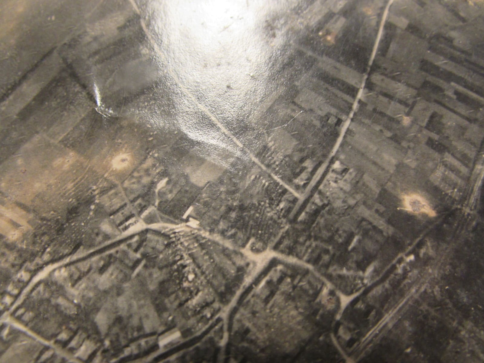
The photograph shows age-related wear, staining, scratches and areas of surface deterioration. The original handwritten annotations and coloured markings remain visible and add to its historical interest.
An interesting and unusual addition to a collection of First World War aviation memorabilia, German military photographs, aerial reconnaissance material or Western Front history.
A fascinating original photographic document from 1918, offering a glimpse into German aerial intelligence operations during the final year of the Great War.
Please examine the accompanying photographs carefully, as they form part of the description and show the item’s condition and original markings.


