RAF ..Air Map ,Southern England & Wales, 1950s

Views: 497
£25.00
RAF Air map of Southern England & Wales 1950s
- Description
- Shipping and Delivery
Description
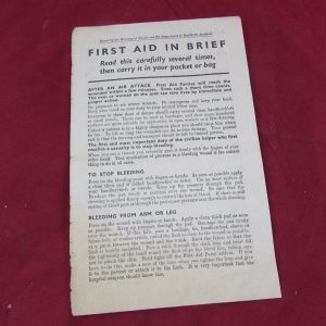
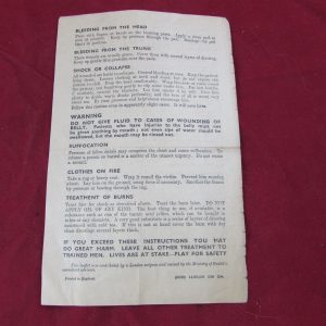
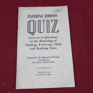
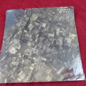
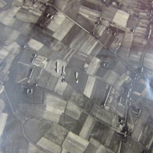
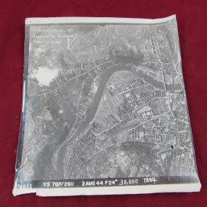
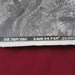
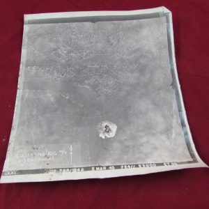
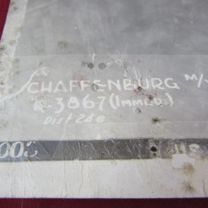
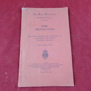
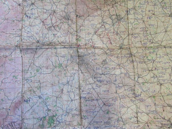
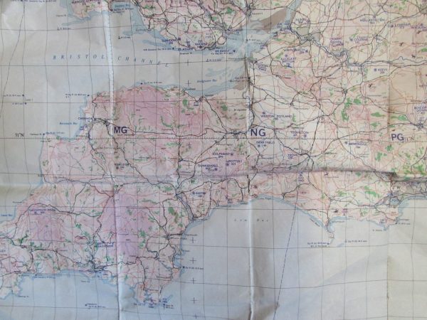
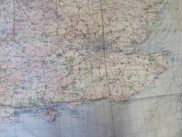
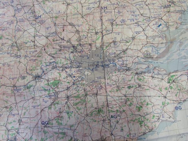
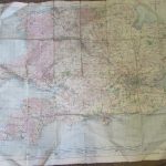
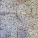
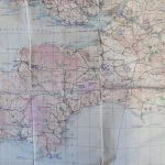
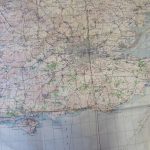
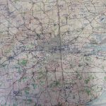
Large map of Southern England & Wales , 1950s, RAF air map showing all of the Wartime Airfields in these areas, great historical piece for information.
Size is 40 inches x 31 inches.
Condition is worn but fully intact.
At this time, Antiqurio ships to locations within the United Kingdom mainland. Items can be shipped worldwide by prior agreement please contact us. The risk of loss and title for all items ordered on this website pass to you when the items is delivered to the shipping carrier. We are unable to calculate shipping automatically for multiple items when shipping internationally please contact us by email if you wish to purchase more than one item and live outside of the UK; we are working to resolve this
International
Customs and import duties may be applied to International orders when the shipment reaches its destination. This is not imposed by Antiqurio and these charges are the responsibility of the recipient of your order and are likely to vary from country to country. Contact your local customs office for details.
Shipping laws are different in each country. It is your responsibility to check with your Customs office to verify whether the country to which you are shipping permits the shipment of your products. Antiqurio is not responsible for any direct, indirect, punitive, or consequential damages that arise from improper international shipping practices.