Free UK Shipping | Enquire for Worldwide





£55.00
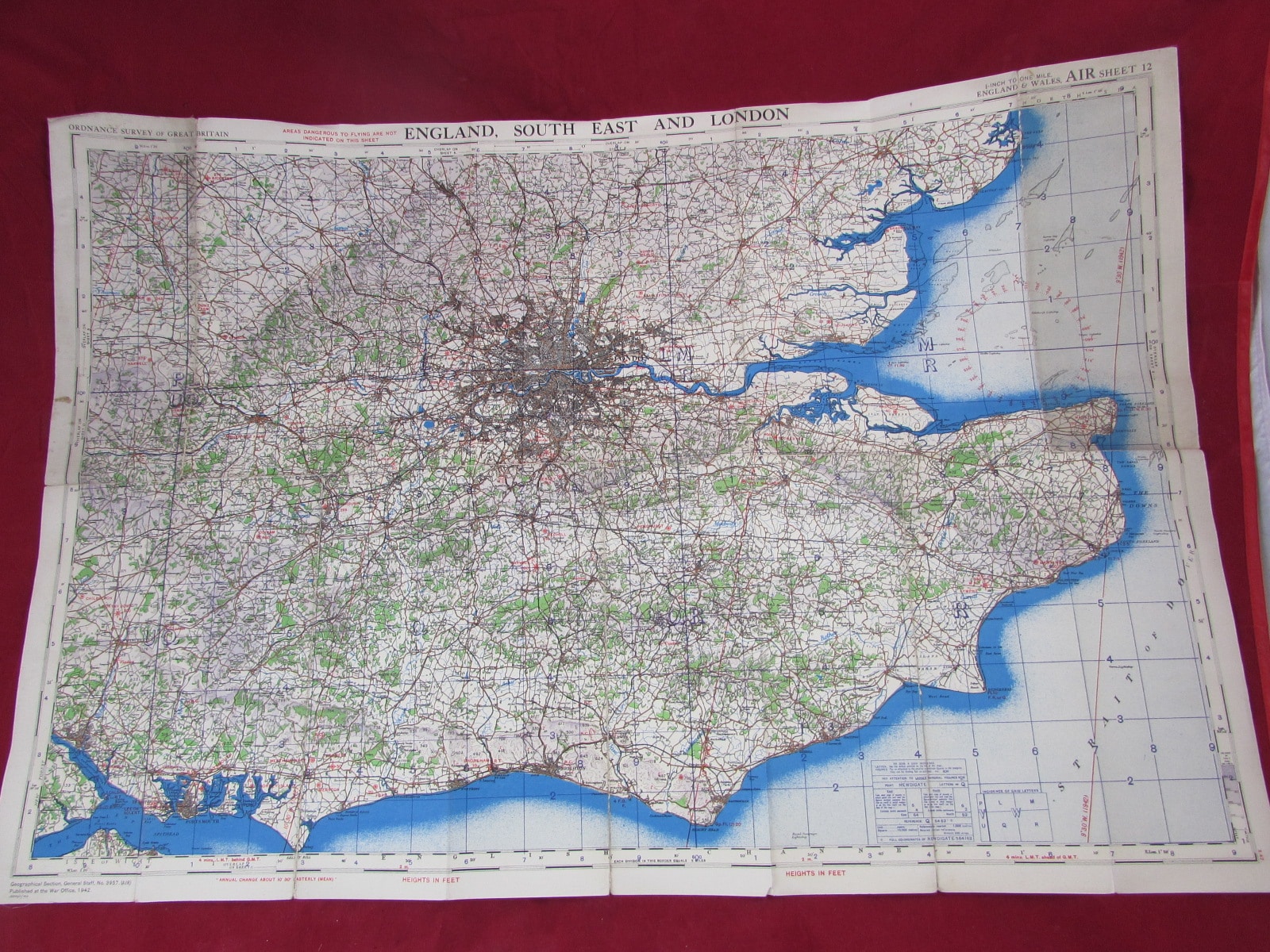
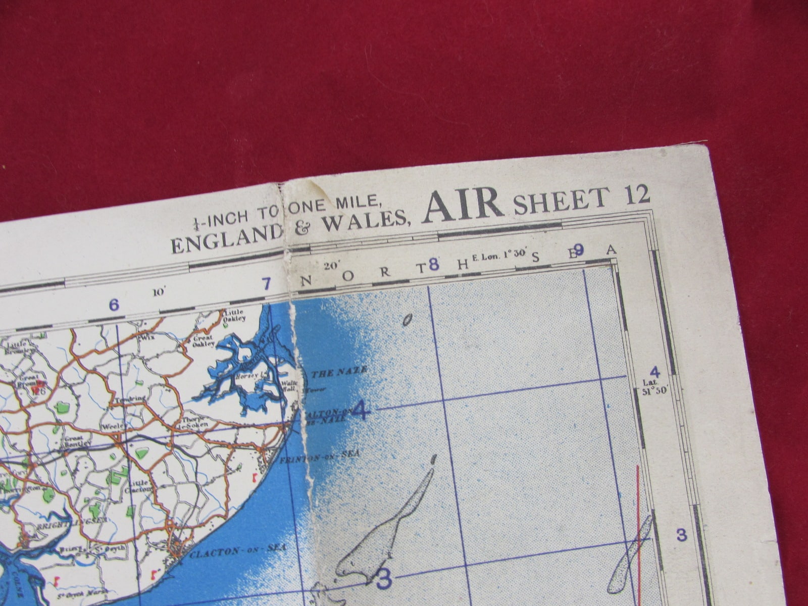
1942 Linen-Backed Air Map – England, South East & London (WW2 Period RAF / Aviation Map)
Air maps of this type were used by pilots and navigators for flight planning and in-flight navigation, particularly over key areas such as London and the heavily defended South East region. This area was of critical importance during the war, especially throughout the Battle of Britain and subsequent air operations.
1942 Linen-Backed Air Map – England, South East & London (WW2 Period RAF / Aviation Map)
An original 1942 linen-backed air map covering England, the South East, and London, produced during the Second World War. This map shows all of the RAF airfields in use during this period of the War. Biggin Hill, Manston, Hawkinge etc etc.
Air maps of this type were used by pilots and navigators for flight planning and in-flight navigation, particularly over key areas such as London and the heavily defended South East region. This area was of critical importance during the war, especially throughout the Battle of Britain and subsequent air operations.
The map is linen-backed, a standard feature for operational maps, allowing for durability, flexibility, and ease of use in the cockpit environment.
Details:
Date: 1942
Area: England, South East & London
Type: Air / aviation map
Backing: Linen-backed
Period: Second World War (1939–1945)
Condition:
Good overall condition. Shows light wear consistent with age and use, including minor creasing and handling marks. Linen backing remains intact and strong, making the map suitable for display.
Notes:
WW2 air maps are highly collectible, particularly those covering London and the South East due to their direct association with major air operations and defensive efforts.
Ideal For:
Aviation and RAF collectors
WW2 historians
Map and cartography collectors
Display or framing projects
A historically significant and visually appealing wartime aviation map from a key operational region.


World War II

World War II


Sale, World War II

World War II