
RAF Silk Map, 1943 Series
Views: 392
£100.00
RAF Silk Map 1943 Series
- Description
- Shipping and Delivery
Description
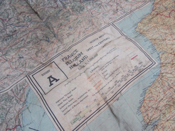
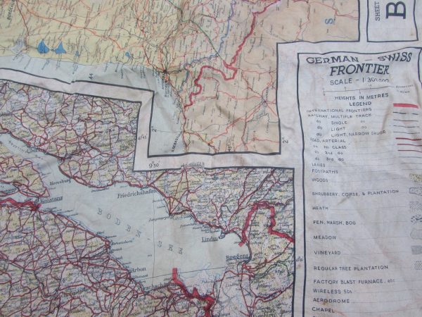
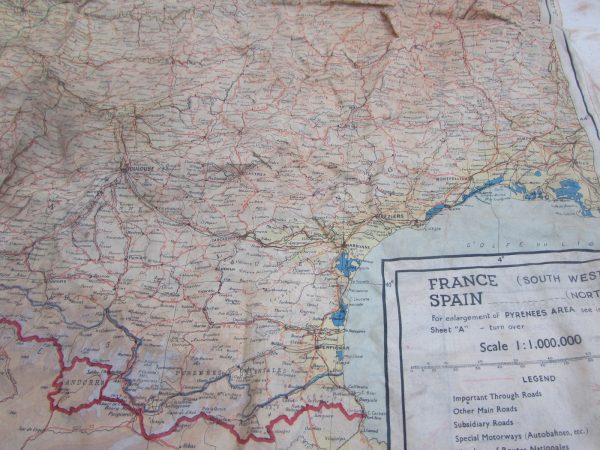
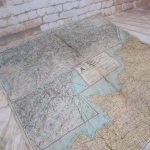
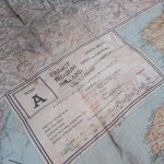
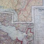
RAF Silk Map, 1943 Series, Belgium, France, Holland, German Swiss
In 1940 the British military intelligence unit, known as MI9, started issuing silk maps for use by British aircrews shot down over enemy occupied territory in Europe. Silk maps were intended to assist airmen in evading capture. MI9 also smuggled silk and tissue paper escape maps into POW camps in Germany along with other escape aids to encourage POWs to attempt escape.
This example is the 1943 Series, on side or sheet A is France, Belgium, Holland, on side B is German-Swiss frontier, France and Spain, this is a good example and clean. Silk maps are still a RARE piece is good order.
During the Second World War, silk escape maps were very important. When a serviceman was captured or shot down behind enemy lines, he could use a silk map to find his way to safety, or better still, evade capture in the first place. They were also sent to Prisoners of War to help them if they managed to escape
Where did they hide the maps?
The maps were hidden in many creative ways before being sent to prisoners of war. Some ways that we know about are,
- Hidden in Monopoly Boards (a dot on the car parking square told you that a map was hidden in the set)
- In playing cards,
- In pencils,
- In gramophone records.
Printed on silk, which is durable, the maps would not rustle at night and could be folded up very compactly to be more easily concealed. The maps were printed with waterproof dyes so the colors would not run if it got wet.
For further information see link below
RAF Silk Map 1943
See here for more RAF items RAF
At this time, Antiqurio ships to locations within the United Kingdom mainland. Items can be shipped worldwide by prior agreement please contact us. The risk of loss and title for all items ordered on this website pass to you when the items is delivered to the shipping carrier. We are unable to calculate shipping automatically for multiple items when shipping internationally please contact us by email if you wish to purchase more than one item and live outside of the UK; we are working to resolve this
International
Customs and import duties may be applied to International orders when the shipment reaches its destination. This is not imposed by Antiqurio and these charges are the responsibility of the recipient of your order and are likely to vary from country to country. Contact your local customs office for details.
Shipping laws are different in each country. It is your responsibility to check with your Customs office to verify whether the country to which you are shipping permits the shipment of your products. Antiqurio is not responsible for any direct, indirect, punitive, or consequential damages that arise from improper international shipping practices.